Pictures on Map — Geospatial Image Sharing
Project Gallery
Pictures on Map - Interactive Map Interface
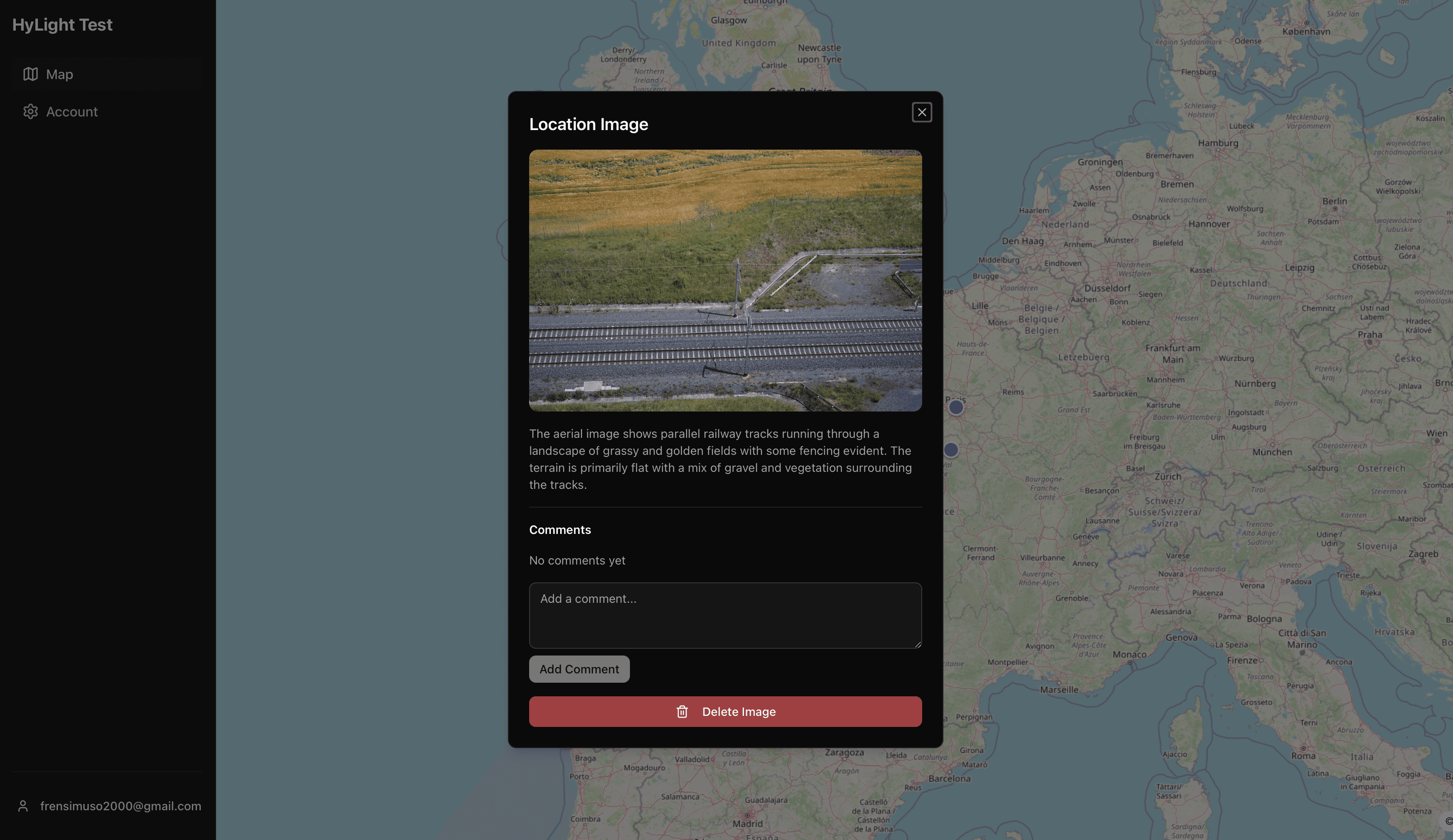
Pictures on Map - Image Upload and Details
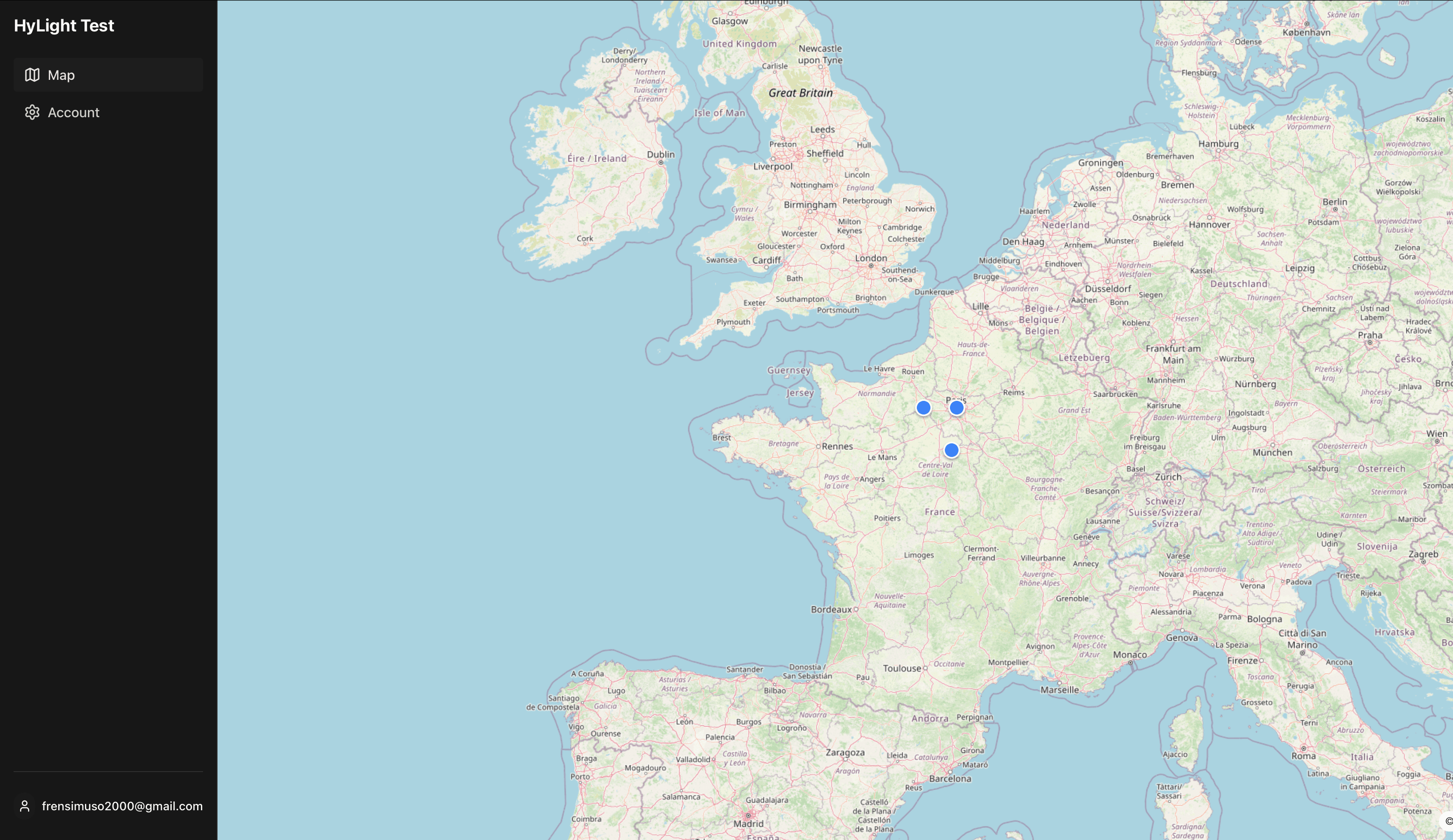
Pictures on Map - Map View with Markers
About This Project
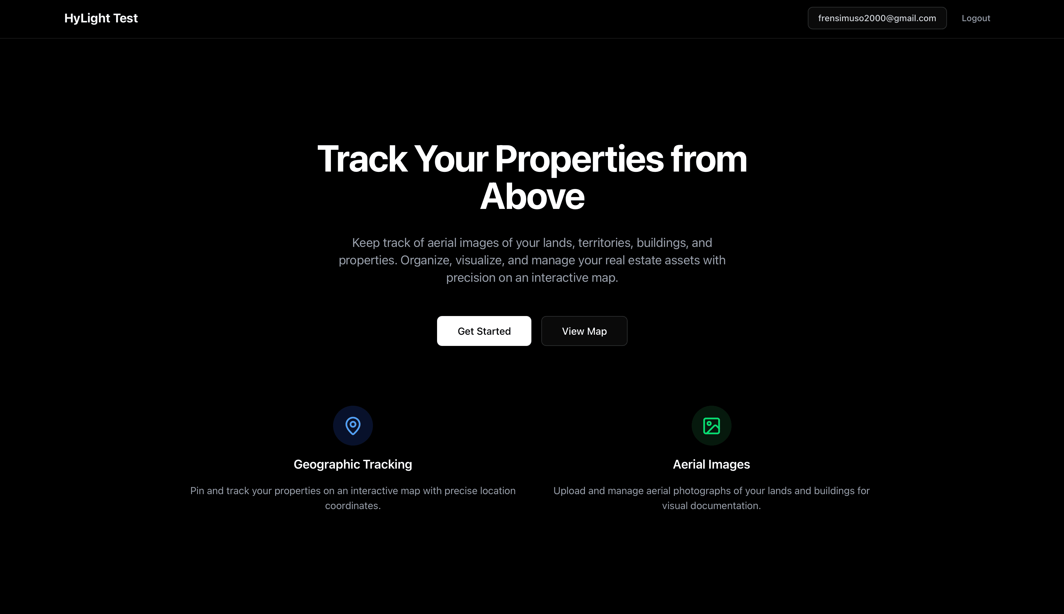
Built a geospatial image sharing platform where users can upload photos with location data, view them on an interactive map, and engage with AI-generated descriptions and comments.
Duration & Team
This project was completed over 4 hours as a personal project.
Technologies Used
Key Achievements
Geospatial image platform: upload photos with location, view on interactive map (MapLibre GL + OSM tiles)
Email code authentication: frictionless sign-in with JWT + refresh cookies
Serverless architecture: Next.js API routes, MongoDB geospatial indexing, AWS S3 storage
AI-powered descriptions: OpenAI Vision (gpt-4o) integration with best-effort pattern
Interactive map: click-to-upload, marker clustering, location-based queries with 2dsphere index
Comment system: CRUD operations for image engagement
Skills & Lessons Learned
Geospatial data modeling: GeoJSON points, MongoDB 2dsphere indexes, coordinate handling
Serverless uploads: base64 → S3 → metadata pipeline with error handling
Map integration: MapLibre GL vs Mapbox, tile management, marker rendering
Best-effort AI patterns: graceful degradation, upload succeeds even if AI fails
Email-based auth: code generation, expiry handling, JWT refresh flows
Single-repo architecture: Next.js co-located UI + API routes for faster iteration